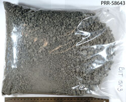
Object # PRR-58643: Unconsolidated
| Primary Field # | BIT157-3 |
| IGSN # | PRR058643 |
| Kind of Object | Unconsolidated |
| Rock Type | Igneous |
| Rock Name | Tephra |
| Weight | 2470 g |
| Continent | Antarctica |
| Region | Marie Byrd Land |
| Mountain Range/Island Group | Flood Ranges |
| Mountain/Island Name | Mt. Moulton |
| Other Feature Name(s) | Prahl Crags |
| Coordinates | -76.069648, -134.713980 (76° 4.2' S, 134° 42.8' W) |
| Positioning Method | GPS |
| Elevation (ASL) | 2816.0085 m |
| Era | Cenozoic |
| Period | Quaternary |
| Analyses | Ar-Ar geochronology |
| Additional Material | Reference Geochemical data available at PetDB |
| Data Sources | Publication Spreadsheet |
| Collector | Dunbar, Nelia W. |
| Donor | Dunbar, Nelia W. |
| References | Dunbar, Nelia & McIntosh, William & Esser, Richard. (2008). Physical setting and tephrochronology of the summit caldera ice record at Mount Moulton, West Antarctica. Geological Society of America Bulletin - GEOL SOC AMER BULL. 120. 10.1130/B26140.1. |
If you would like a 3D scan of this sample, please contact the Curator.
Cite as:
The Polar Rock Repository (PRR), Byrd Polar and Climate Research Center (BPCRC), Ohio State University: Polar rock and dredge samples available for research and educational use from the PRR.
doi:10.7289/V5RF5S18 [date of access]